Slaver’s Bay

Today, the cities of the Slavers. If you’re following the TV series then you might be wondering why this part of the world merits a map all to itself, but all will become clear….

Official Slaver's Bay map for Game of Thrones
Slaver’s Bay, © George RR Martin 2012, used with permission

This is the second map with detail illustrations of the different cities. Continue reading “Slaver’s Bay”

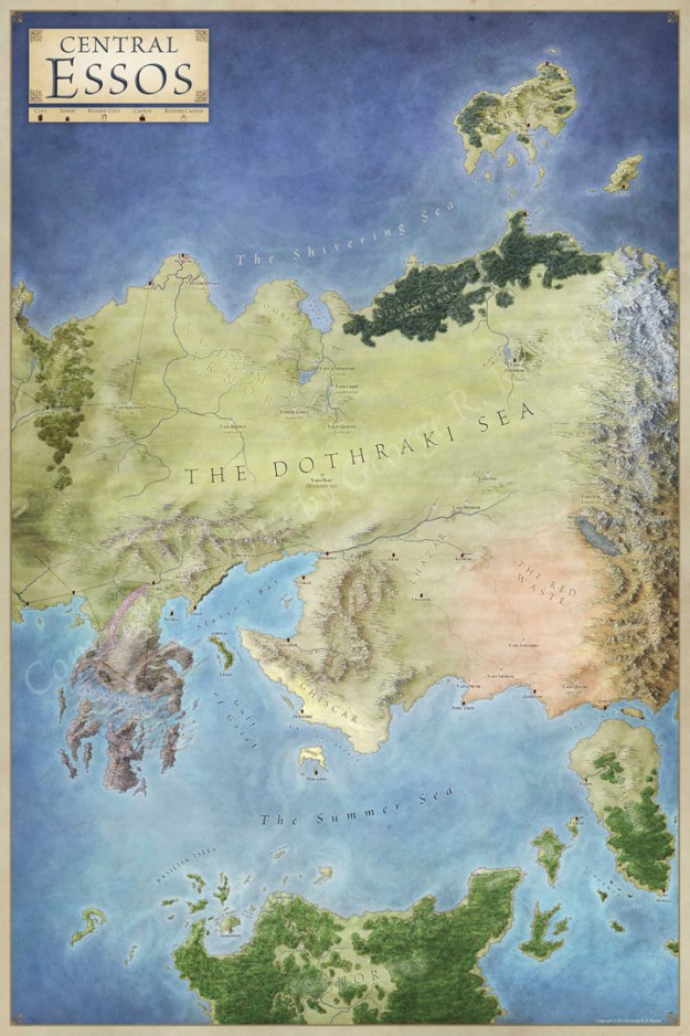
Central Essos

Today we travel to Central Essos – in the heart of the known world.

Central Essos map for Game of Thrones
Central Essos, © George RR Martin, 2012, used with permission

A Song of Ice and Fire feels evenly split to me between the the action in Westeros and the ongoing adventures of Daenarys Targaryen in central Essos.

Continue reading “Central Essos”

The Lands of Ice and Fire

Lands of Ice and Fire Maps for Game of Thrones

It’s official! I am working on the maps for A Song of Ice and Fire by George RR Martin. The image above is an early mockup of the cover and the full map folio is due to come out in October of this year. Now obviously I can’t say too much about the project, but here’s the description from the product page:

George R. R. Martin’s beloved Song of Ice and Fire series, which started with A Game of Thrones, is bursting with a variety and richness of landscapes—from bitter tundra to arid wasteland and everything in between—that provide a sense of scale unrivaled in contemporary fantasy. Now this dazzling set of maps, featuring original artwork from illustrator and cartographer Jonathan Roberts, transforms Martin’s epic saga into a world as fully realized as the one around us. Continue reading “The Lands of Ice and Fire”